Map and model, linked.
Move between the 3D town and the map, with the data behind each feature.
The Windows app
Geospatial data and deterministic simulation.
Connected in a native desktop workspace.

Move between the 3D town and the map, with the data behind each feature.
Compare signal timings, lane layouts and queues before anything changes on the street.
Bring a proposal into the town and check views and access from the street.
Traffic
Change the signals or the street. Compare how traffic moves through the area.
Traffic and council applications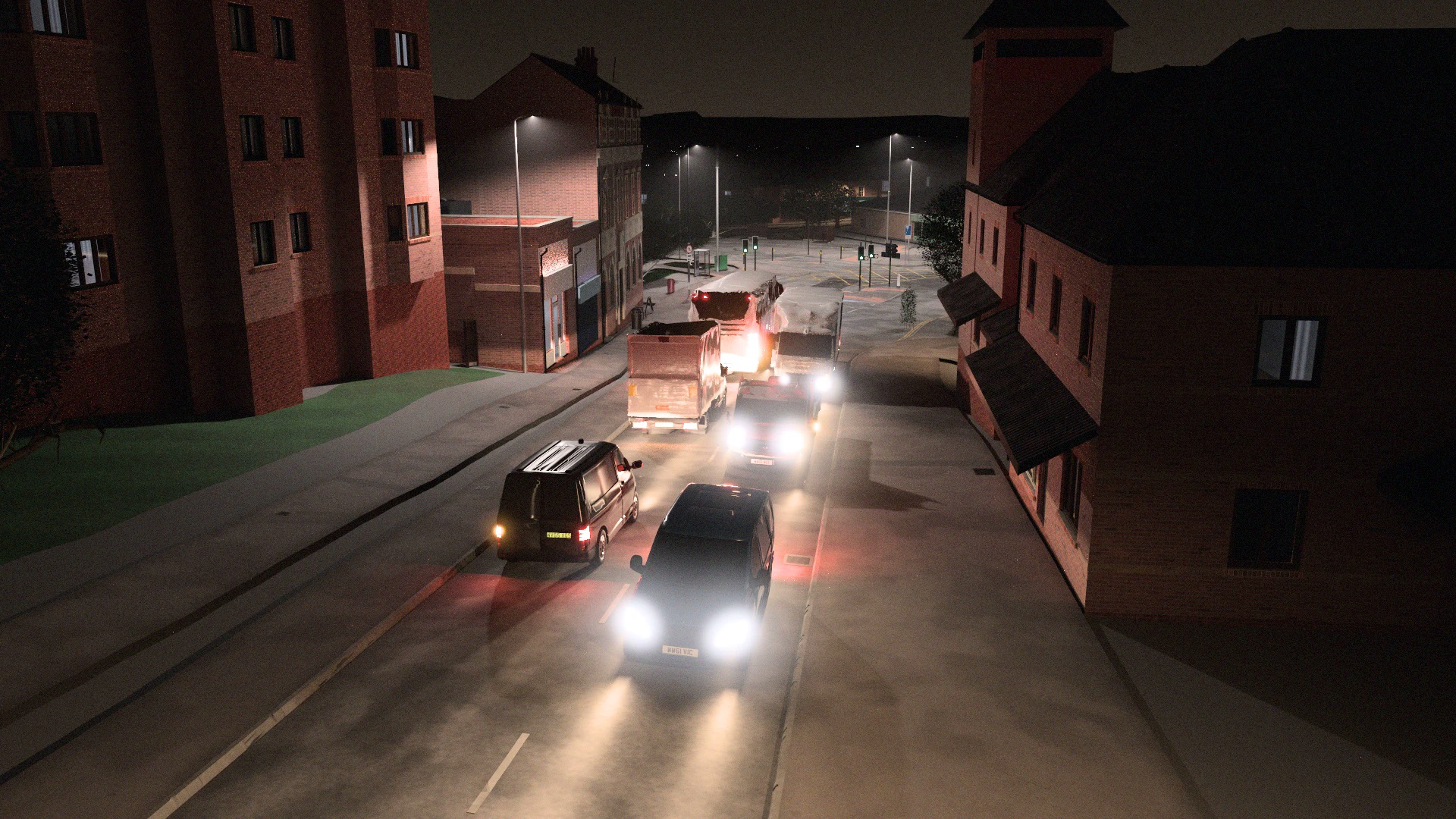
Site planning
Bring a proposal into the town. Compare options and save a clear view to discuss.
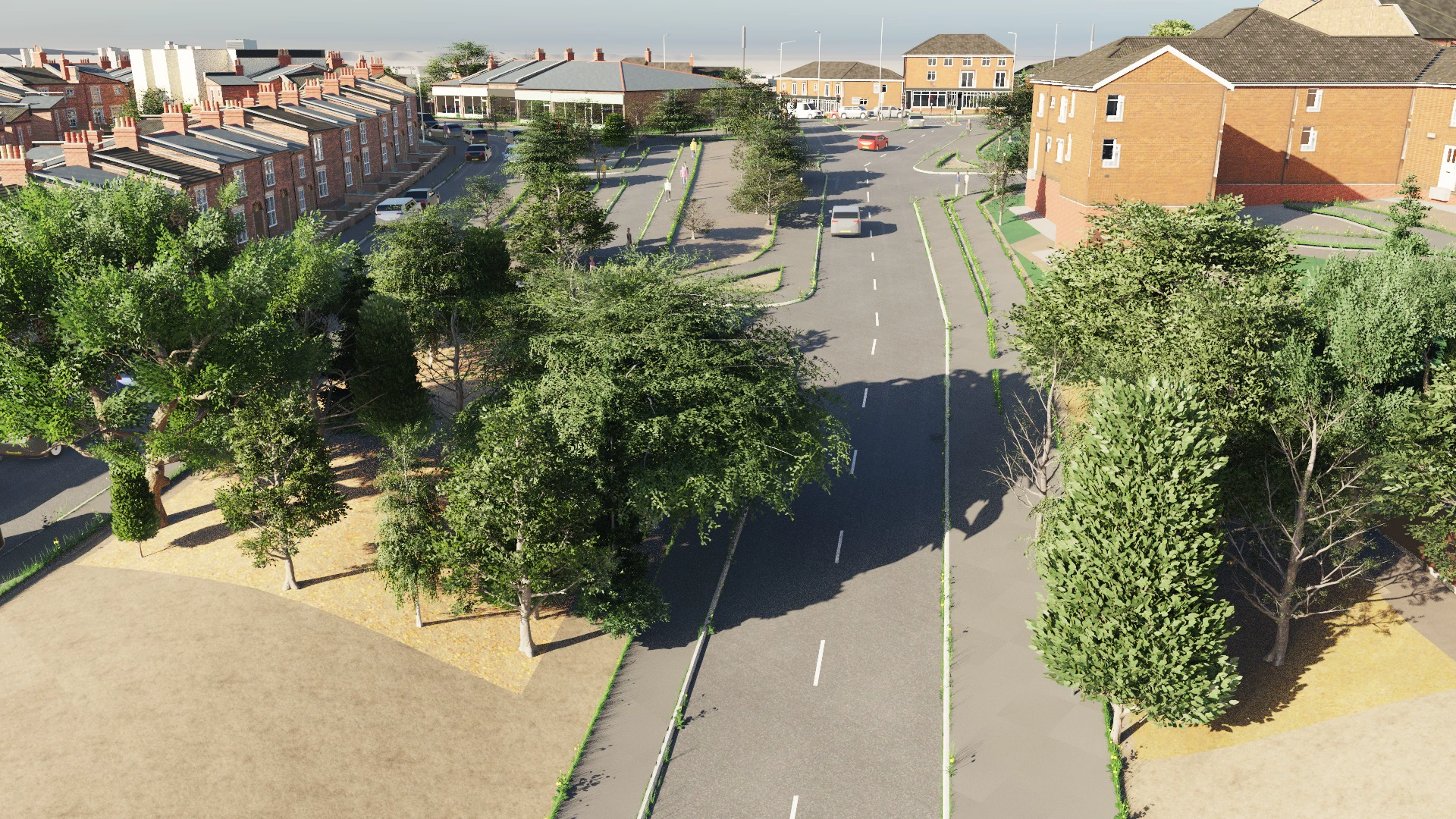
Your places, proposals, saved views and notes.
Inspect the data used to build a place, alongside your own plans.
Save your projects and choose what to share.
Let’s talk