Signal optimisation.
Compare signal timings and coordinated junctions. See how different plans affect queues, delays and journey times.
For councils, engineers & mobility teams
3D towns and traffic simulation for
decisions about real places.
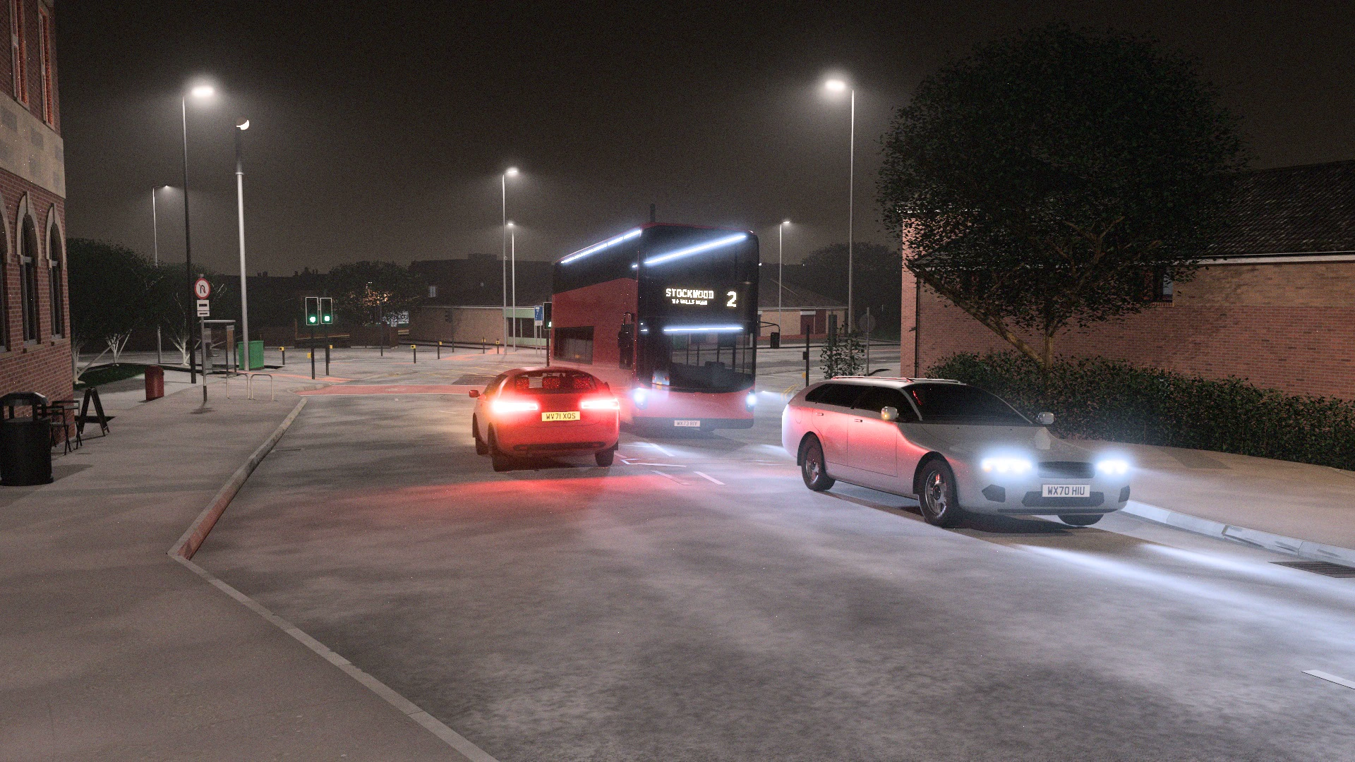
01 / Traffic flow & congestion
Compare signal timings and coordinated junctions. See how different plans affect queues, delays and journey times.
A roundabout. A bus lane. A different junction layout. Test the options in their surrounding road network.
Signal retiming and corridor coordination are already part of the simulation work.
02 / Urban planning & civil engineering
Generate the surrounding town from map data, then overlay a proposed development. Review the site in context from the start.
Explore changes to roads, junctions and access. Connect the 3D proposal with the traffic questions it creates.
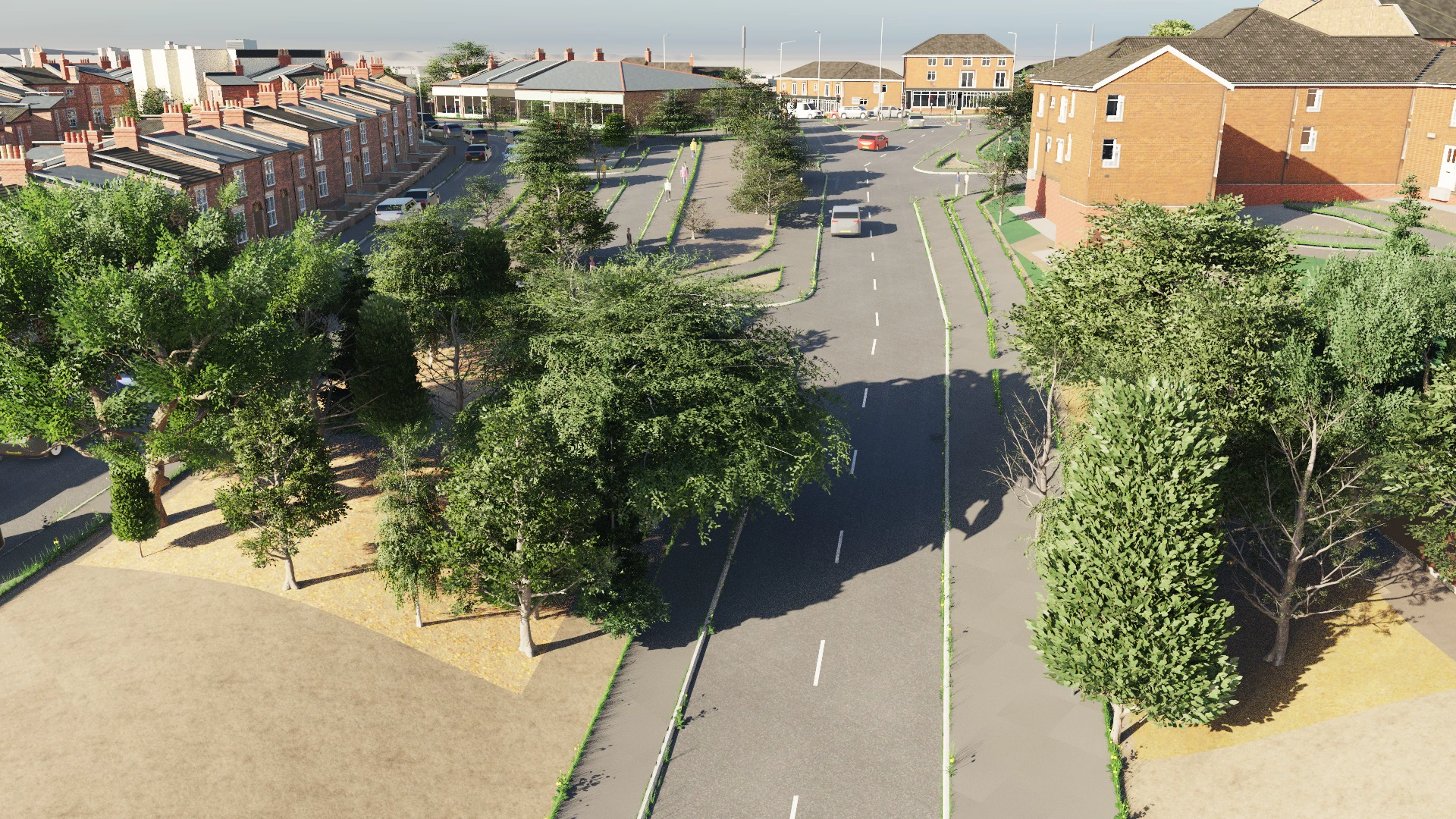
03 / Municipal & local councils
Show a proposal in a recognisable 3D town. Let residents see the street, the surroundings and what would change.
Run deterministic multi-junction traffic studies on local workstations, with no cloud compute overhead.
04 / AV & logistics research
Develop repeatable road scenarios based on real places. Explore how autonomous vehicles could respond to local layouts and traffic rules.
Compare routes and departure times against simulated congestion. Find where a different delivery window could help.
Available for technical pilot evaluation.
Let’s talk